


By John Prince
Visitors to the east coast are being encouraged to explore its landscapes through a network of artistic photo posts.
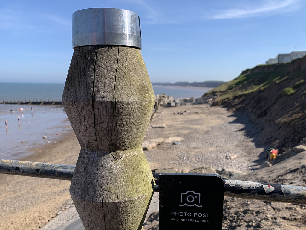
The wood-turned posts, created as part of the Active Beacon Photopost Project, form a series of connected trails designed to guide walkers, runners and cyclists along some of the region’s most striking routes.
Each post doubles as a marker and an interactive art installation, inviting people to stop, take photographs and share their images online to help build a visual record of the changing shoreline.
The project is a joint initiative between East Riding Council’s Active Coast programme and the University of Hull’s Energy and Environment Institute, and is linked to the global CoastSnap coastal monitoring network.
By encouraging visitors to take repeat photographs from fixed points, the scheme supports free, citizen-led science that helps researchers track erosion, tides and long-term landscape change.
The photography posts aim to make the most of the region’s “blue spaces” by promoting outdoor recreation, boosting physical activity and supporting mental wellbeing.
Information plaques and QR codes at each location explain how the project works and how the public can contribute.
The beacons can be found at points along the coast, including Sewerby to Bempton, Hornsea, Withernsea, Spurn Point and Hessle Foreshore, with more locations planned as the King Charles III England Coast Path continues to roll out.
Go to www.visiteastyorkshire.co.uk/things-to-do for more details.