


by Rebecca Hannant
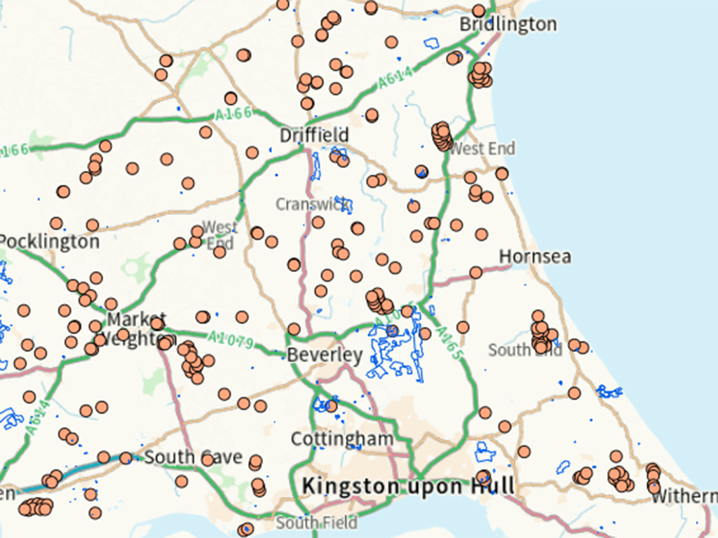
A new map showing the location of proposed and refused energy developments across the East Riding has been published by the council.
It follows a motion submitted to Full Council on April 2 by Mid Holderness ward councillor Samantha Christon-Whyte, who said she was concerned that solar farms were coming “thick and fast” and causing concerns in local areas.
She said the map would give residents the tools and resources to secure community benefits, as well as clear, accessible guidance on how to access council support when negotiating and managing solar energy community benefit schemes.
Cllr Christon-Whyte also urged East Riding Council to consider Supplementary Planning Guidance to prioritise solar farm developments on existing structures, brownfield sites, and lower-grade agricultural land, while discouraging the use of the best and most versatile farmland to safeguard food production and livelihoods. The motion was passed at Full Council.
The number of proposed solar farms in the East Riding has led to the creation of ERASE (East Riding Against Solar Expansion), a group led by Yorkshire Party representative George McManus.
ERASE campaigns against large-scale solar projects in the area and has welcomed the council’s move to publicise the issue, saying public awareness remains low.
George McManus, spokesman for ERASE, said: “This is a very welcome development. At meetings earlier this year, the council took our concerns on board and have acted. The primary objective of our campaign is to raise public awareness. Recent straw polling undertaken by ERASE has revealed most of the public are totally unaware of what’s in the pipeline. We are sleepwalking into a situation which cannot be reversed.
“While we sympathise with the Government’s net zero policy, we think a strategy which will lead to industrialisation of the rural landscape and the loss of valuable food producing capacity is wrong.
“Some of these individual projects like Pear Tree Hill and Mylen Leah will each cover thousands of acres involving a million panels in each. More modest projects like those at Tickton and Molescroft, while having less impact, will be totally overshadowed by these massive projects and collectively will lead to the loss of 20,000 acres of land.”
A spokesman for East Riding Council said: “The map provides geographical locational information on the renewable energy planning applications received by East Riding Council’s planning department. This will facilitate greater understanding of energy developments for parish and town councils, local communities, and members of the public.”
The map can be viewed via eastriding.gov.uk/planning-permission-and-building-control/energy-developments.